16 July, 2022
Do you know how to read your map? How to find the fastest route to the next pub? Read on for top tips from Steve Backshall and Emma Holland.

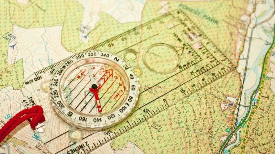
According to research by a recent article in the Guardian that three quarters of UK adults cannot read a map (read the article here) - this article will help offer advice on how to read a map and ensure you get the most out of your next hike. It may even save you time finding your quickest route to the nearest pub lunch!
We caught up with #GetOutside champion and naturalist Steve Backshall. He continues his series of map reading videos with Ordnance Survey by explaining how to choose the right map for your activity.
Every adventurer knows, even with new technology, that a paper map is a vital piece of equipment. Steve explains the difference between the OS Landranger and OS Explorer maps published by OS, and which to use for your next adventure.
This video is part of a series with Steve Backshall introducing you to map reading and navigation skills
As part of our festival of content, Emma Holland a senior mountain leader for Mind over Mountains, gives us a ten-minute presentation on how to recognize footpaths, access land and understanding rights of way that you can find on an ordnance survey map.
Watch the presentation here
By following these simple tips, you should be able to read your hiking map like a pro! Just remember to always carry a map with you when venturing out into the wilderness and to check it regularly to help you stay on track.
Have you got top tips to share with the Outside & Active Community? Share them over on our Instagram @beoutsidebeactive
Discover hidden gems across the country and see it for real with Ordnance Survey.
Unearth amazing walks and breathtaking scenery whilst discovering Britain at its best. Whatever your adventure, let us help you find the perfect paths for a cycle with the kids, a stroll with the dog or a hike in a national park.
Most recent articles by Outside & Active

Brooks supports trail runners to defy limits and empower their trail runs with the new Cascadia 18. The adaptable Cascadia combines DNA Loft v2 cushioning with TrailTack Green grip and a durable upper mesh to handle all terrains, providing necessary comfort and underfoot security on each surface.

Connectivity makes eBiking more customised, convenient and secure.

Various app solutions, interfaces and services as the next step for the eBike experience of tomorrow
Most recent articles in HIKING

The Ramblers, Britain’s walking charity, bring their successful Out There Award to England, empowering 18-26 year olds to embrace the outdoors with confidence.

Looking for some motivation to get you excited and active for 2024? The Beacons Challenge, taking place on Saturday 6th July 2024, may well just be that rewarding opportunity you’ve been waiting for.

Exploring the great outdoors with your dog is a fantastic way to bond and keep both of you active. You can find suitable activities for any breed, whether splashing in the surf at the beach, trekking through scenic hiking trails, or scaling mountain peaks. Therefore, this article explores the best outdoor activities, providing tips and safety advice to ensure a fun and memorable experience.